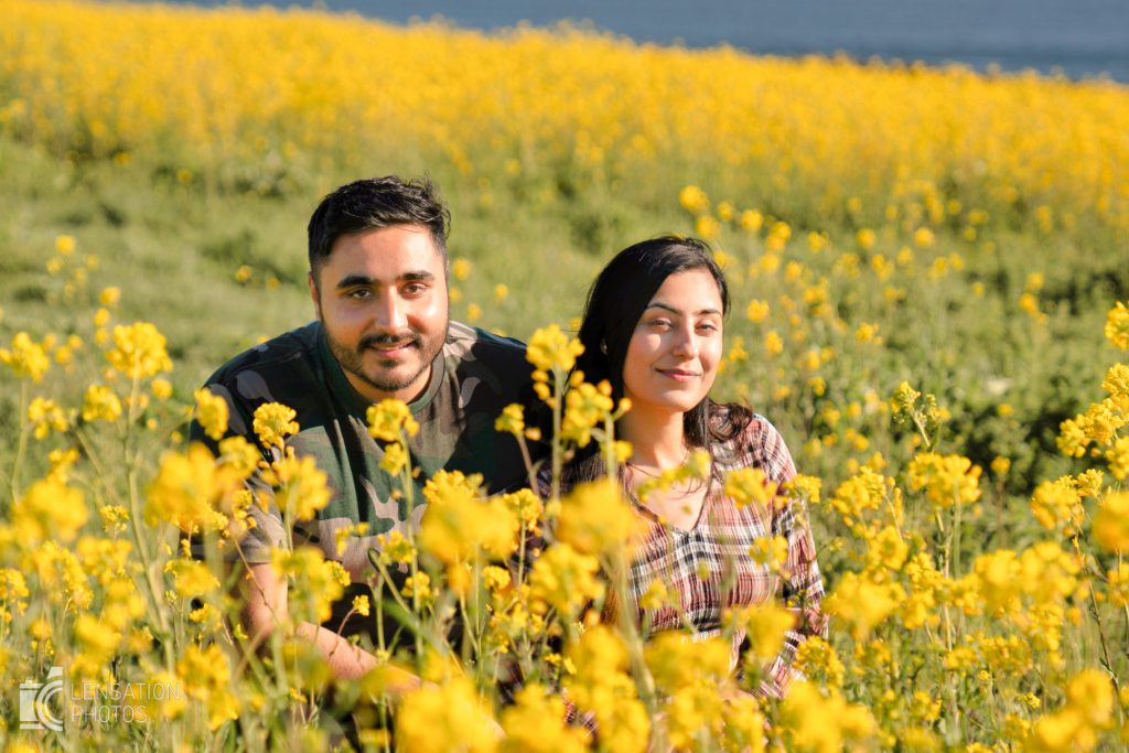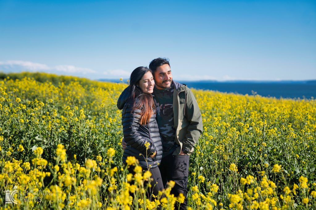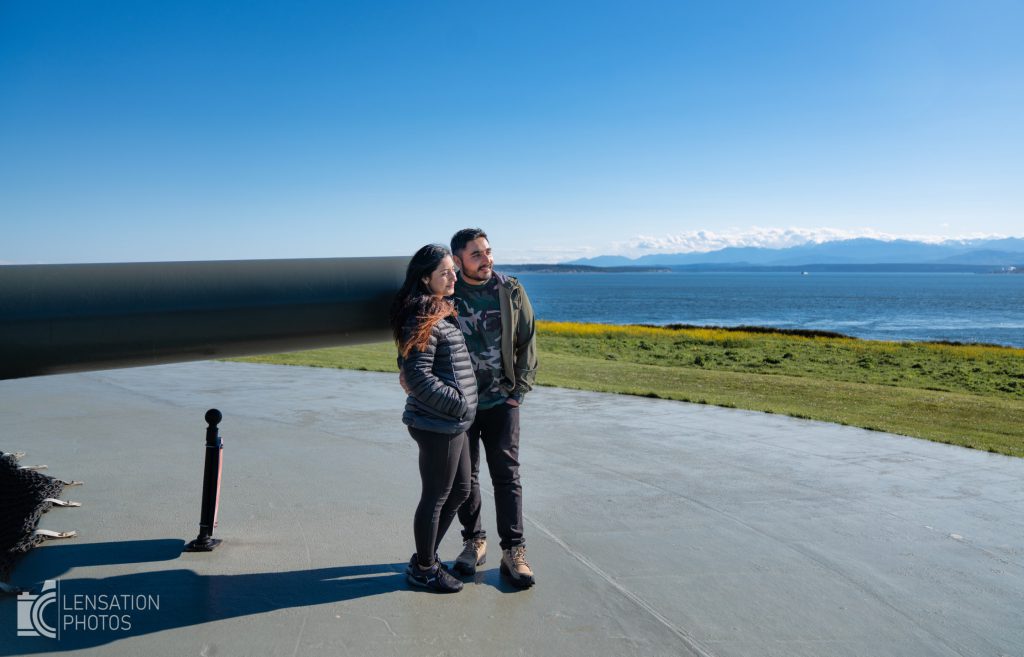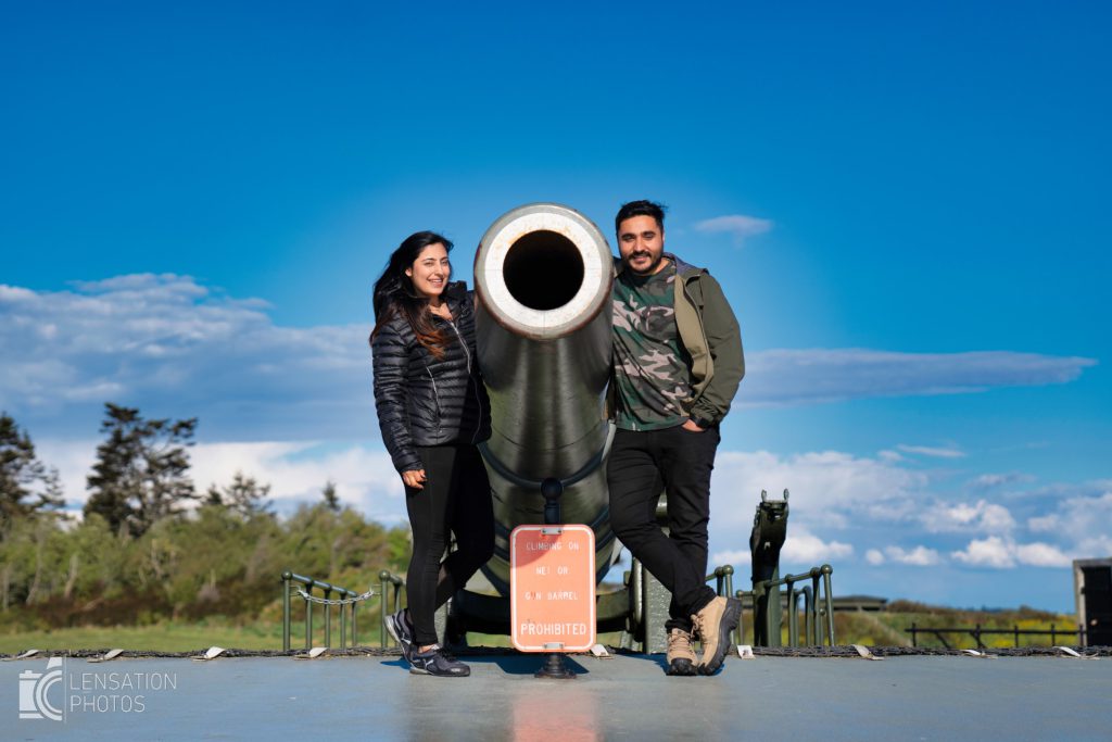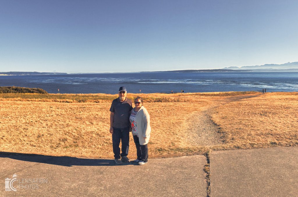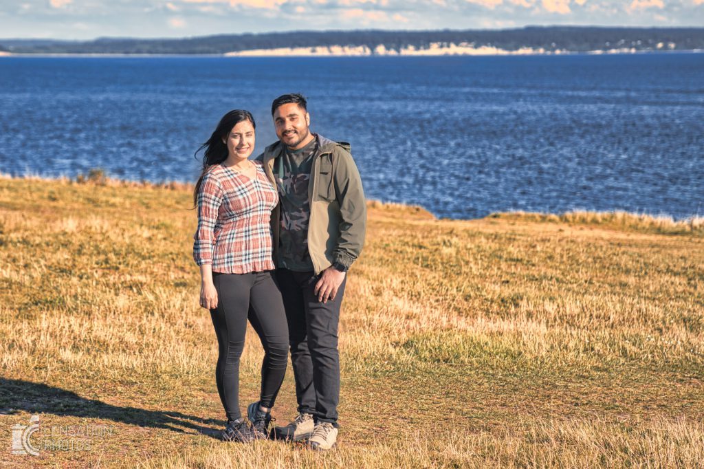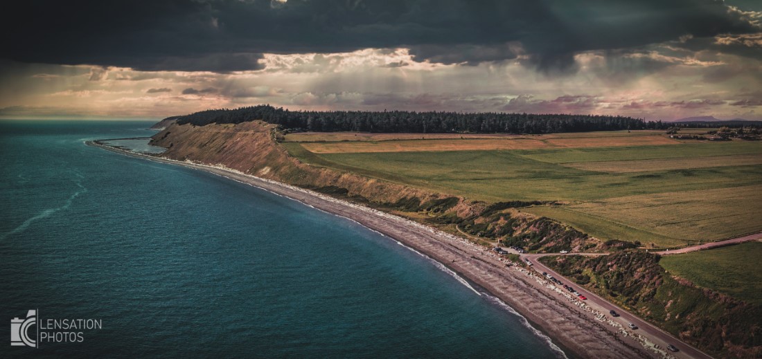
If you live in Puget Sound Area you must do the Whidbey Island Loop. Not only does the loop provide a beautiful view of the Washington state, it also gives you great opportunity to take awesome photos.
I am sharing the map which shows the possible stops where I like to take pictures. The whole loop involves less than 4 hours of driving making it a perfect candidate for a day trip.
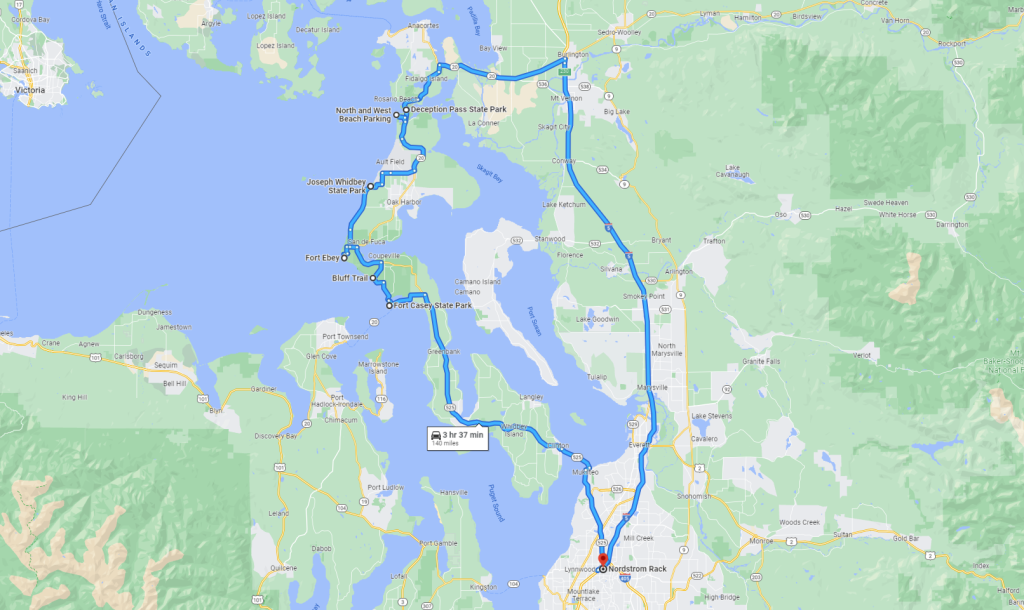
Below is the list of stops and photos I took in those locations
Deception Pass
I like going to Deception Pass but I do not necessarily like to take pictures there. This is mostly because it is usually very busy and this is usually my first stop in the loop where you get a very harsh high noon light. The best places to take pictures in my opinion is on the pass island and under the bridge
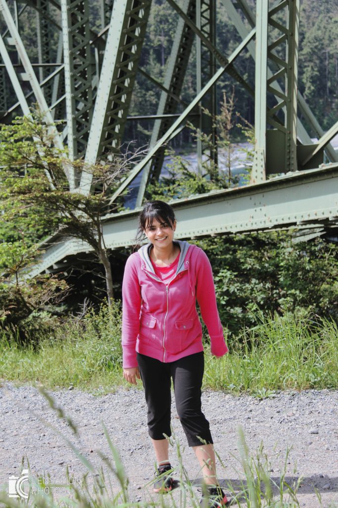


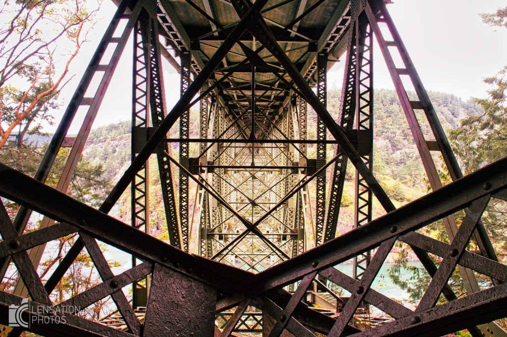
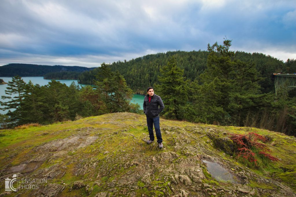
Deception Pass – West Point Area
This is a fantastic area as it has beach for kids, lots of rocky formations and a view of the Deception Pass Bridge. You can take pictures with the ocean as your background as some areas have a decline.

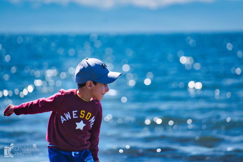
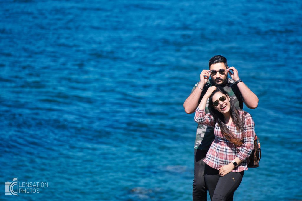
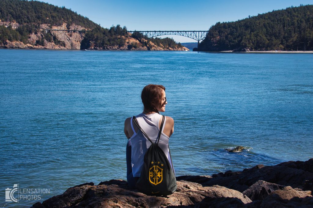
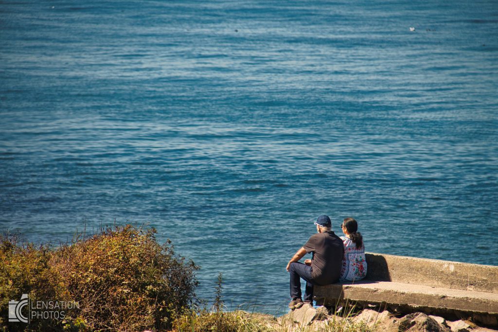
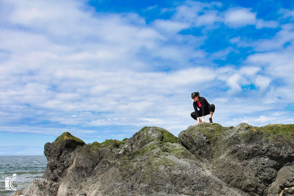
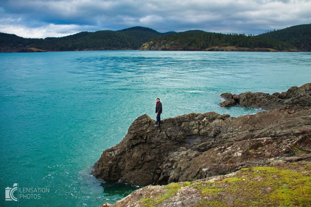
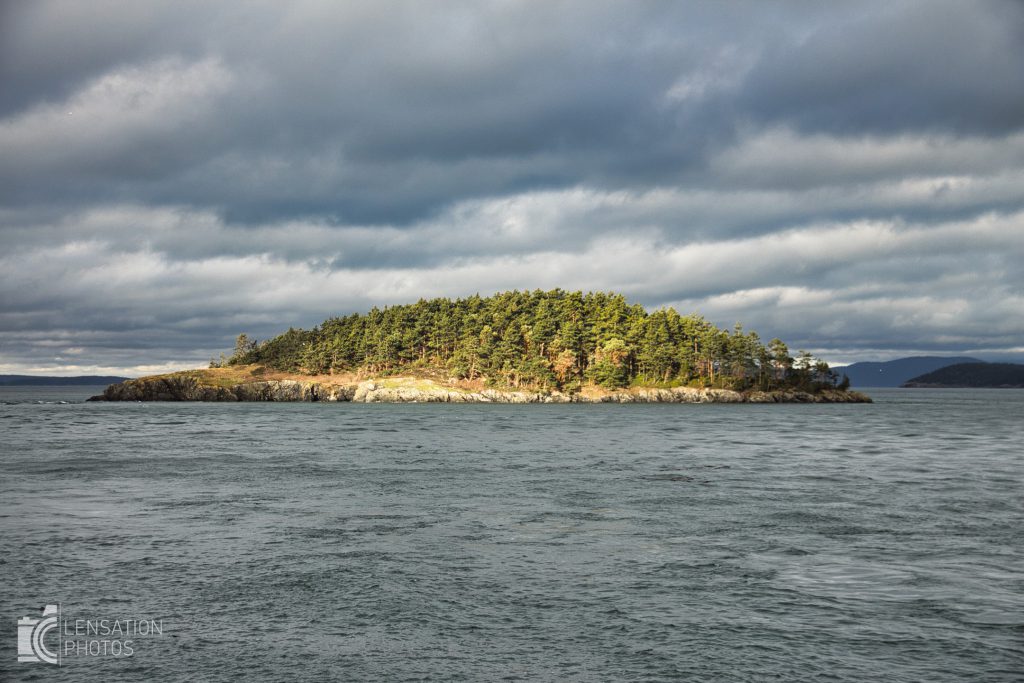
Joseph Whidbey State Park
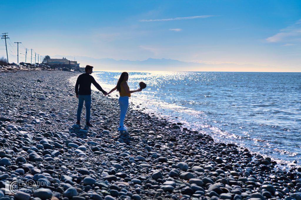
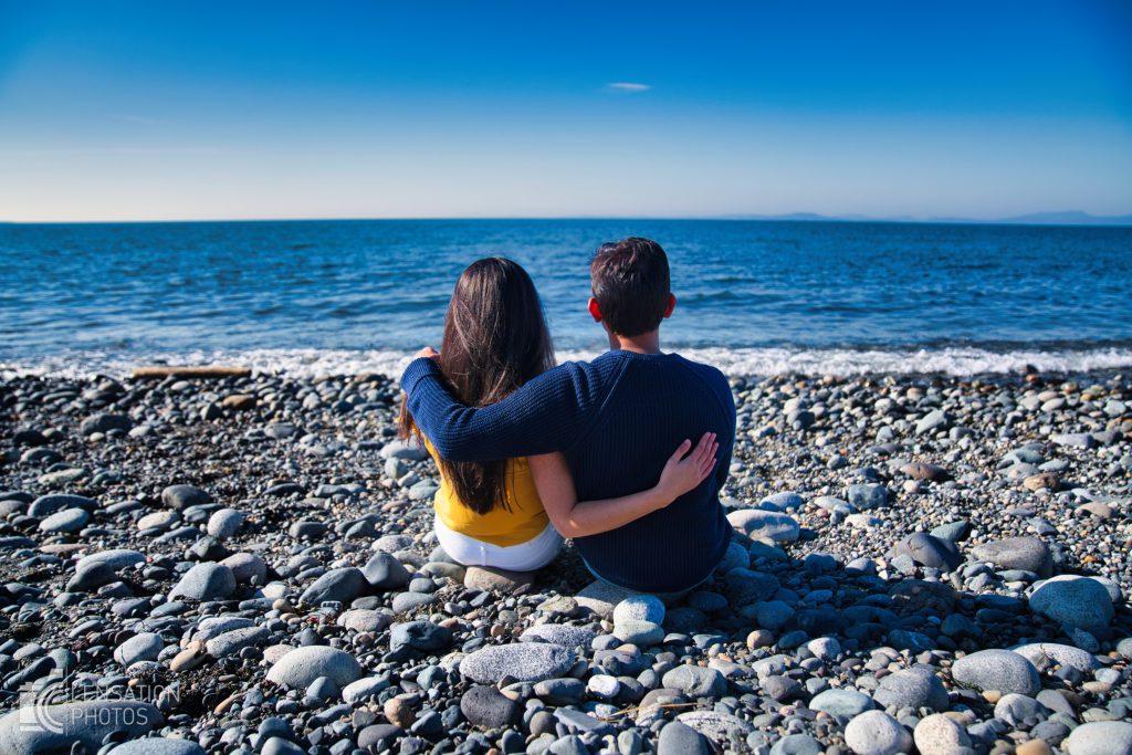
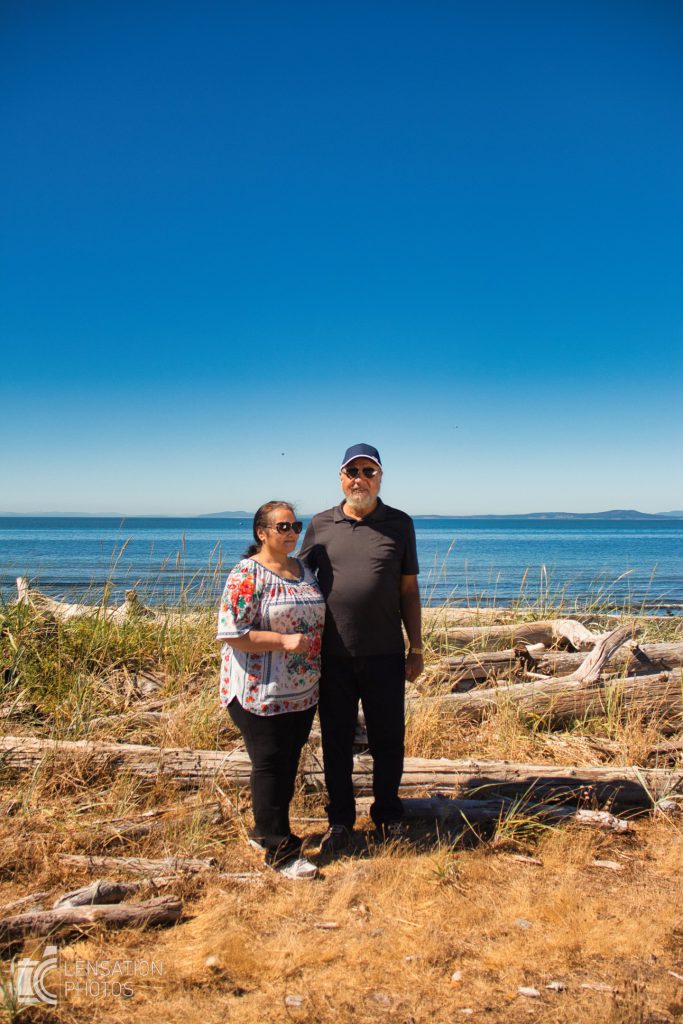
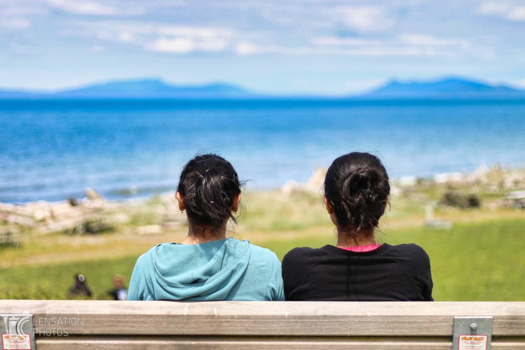
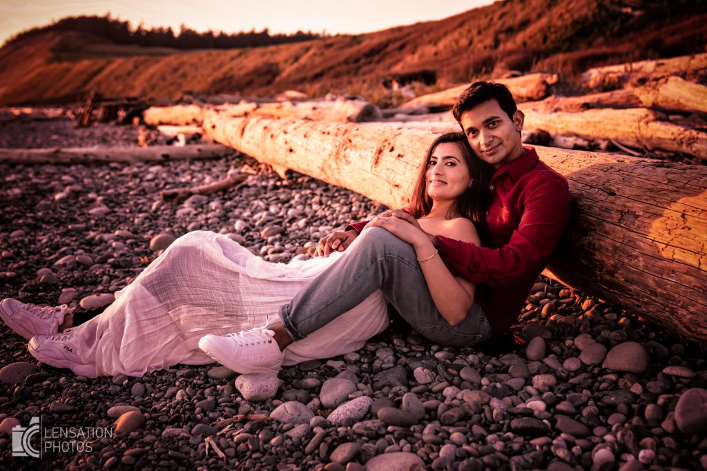
This is a great park as it has a nice picnic area to relax and grab a bite while viewing the ocean. The beach is rocky and littered with drift wood giving it a great character for a perfect back drop.
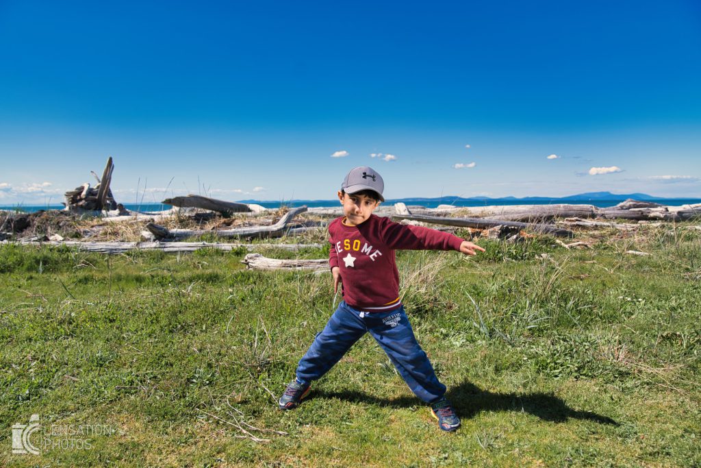
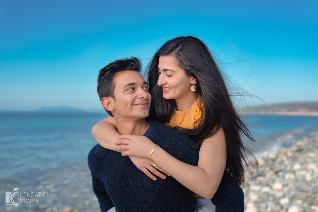
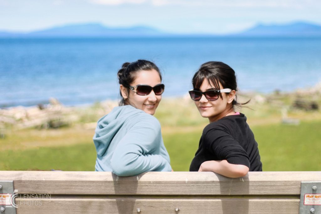
Fort Ebey
A great location which was originally built as a coastal defense. The grass ridden bluff here provides a beautiful backdrop.
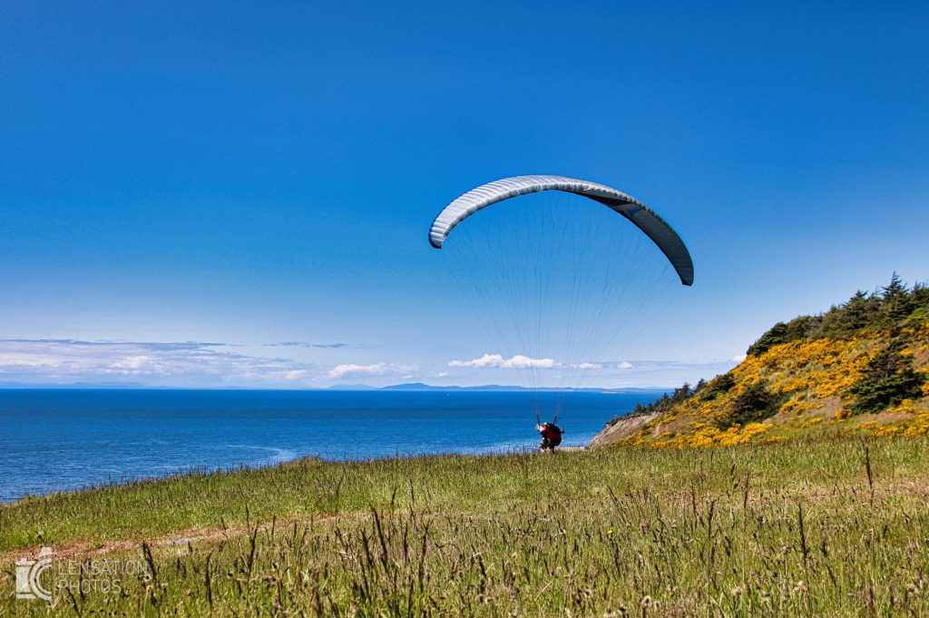
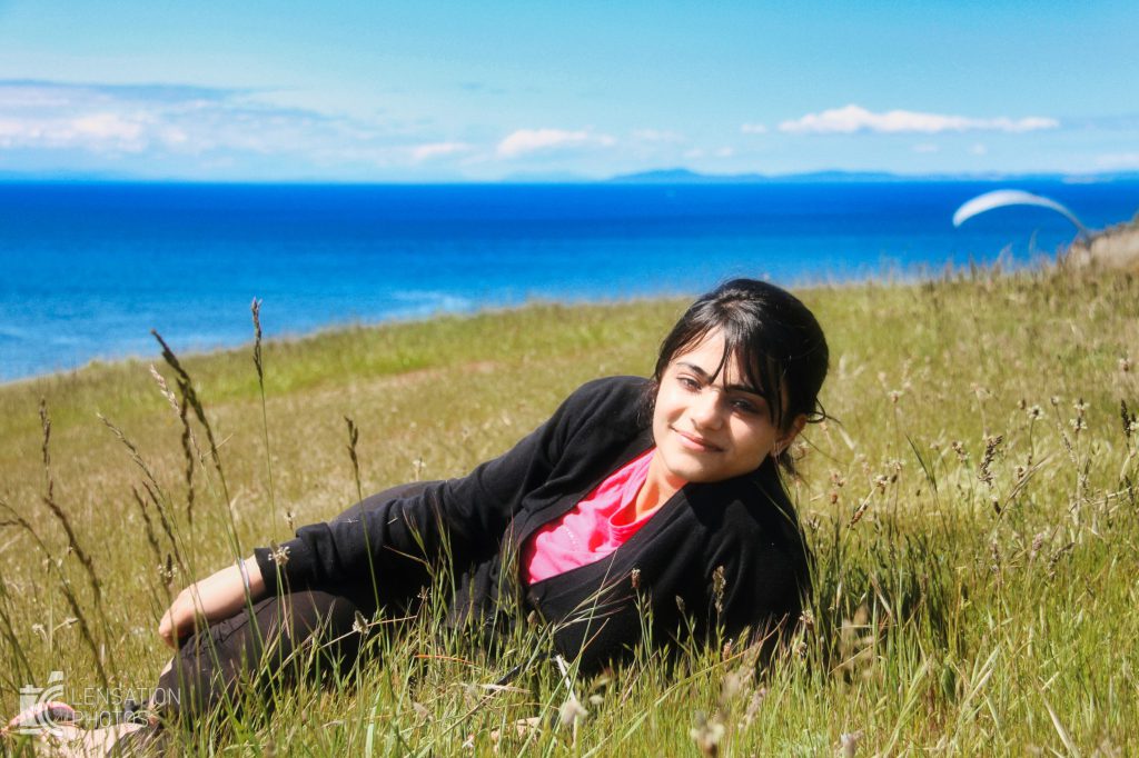
Ebeys Landing
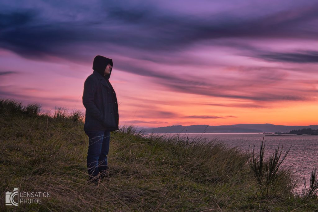
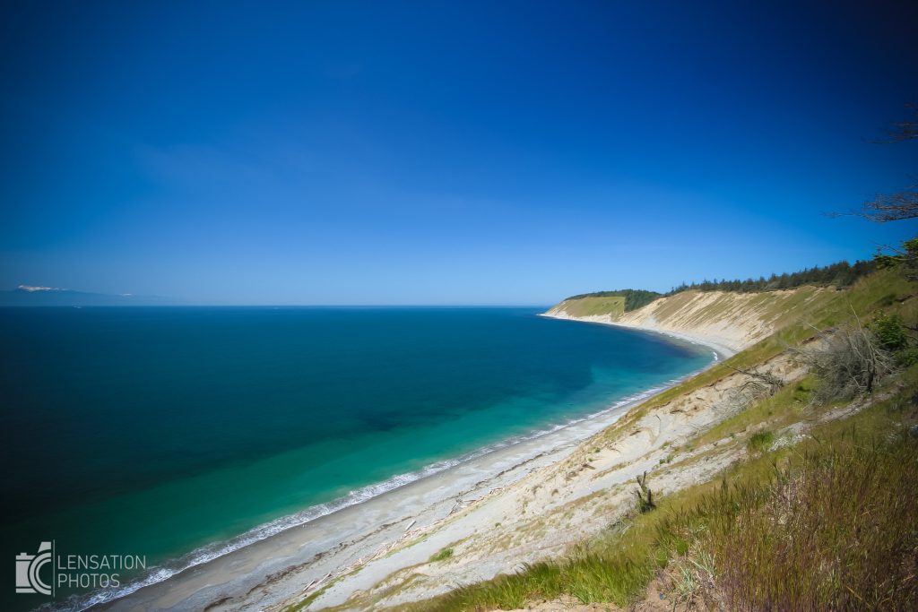
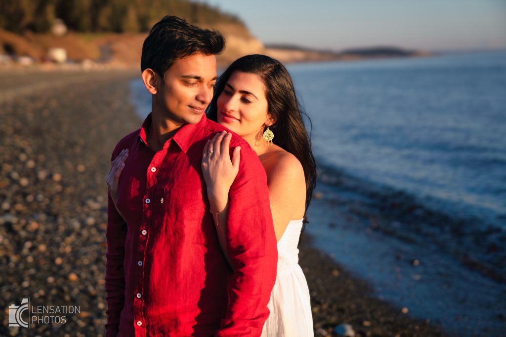
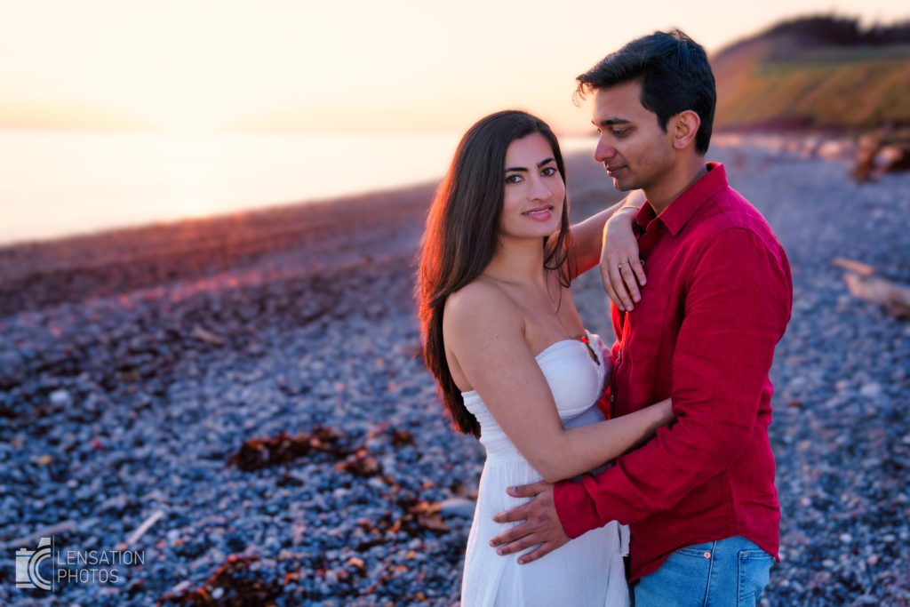
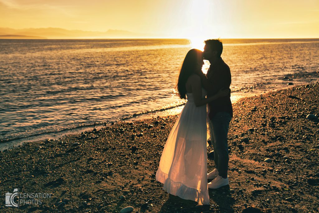
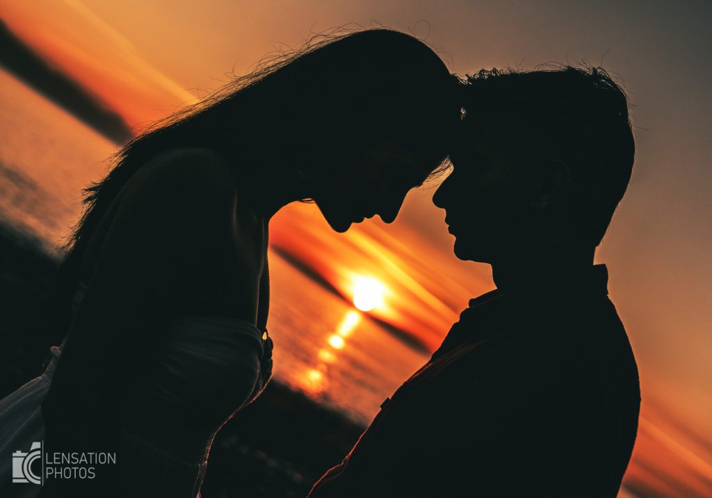
This is the main stop of this whole trip. It has everything azure ocean, beach, cliffs, lake, fields and trail. If you want the best engagement photos, this is the spot. If you want to see a beautiful sunset this is the spot. If you want to have a nice easy hike with beautiful views this is the spot.
I do recommend to plan the trip so you are here 2 or 3 hours before the sunset for best results of your photographs.
I have divided Ebey’s Landing in 3 parts
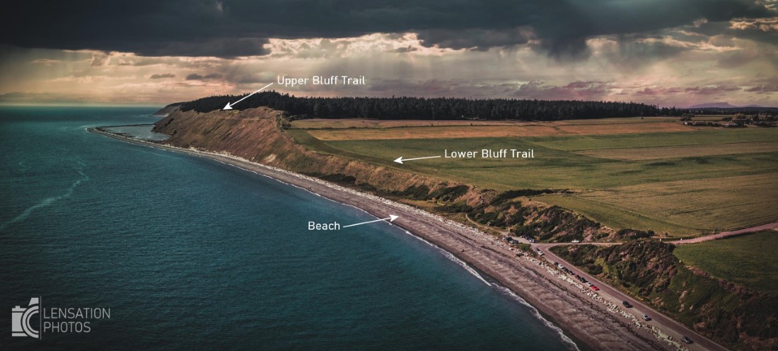
Lower Bluff Trail
A short stair climb from the parking lot will take you here. It has vast expansive fields on one side with the ocean on the other making it an ideal location for iconic photos.
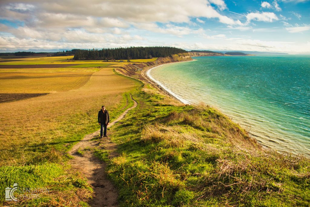
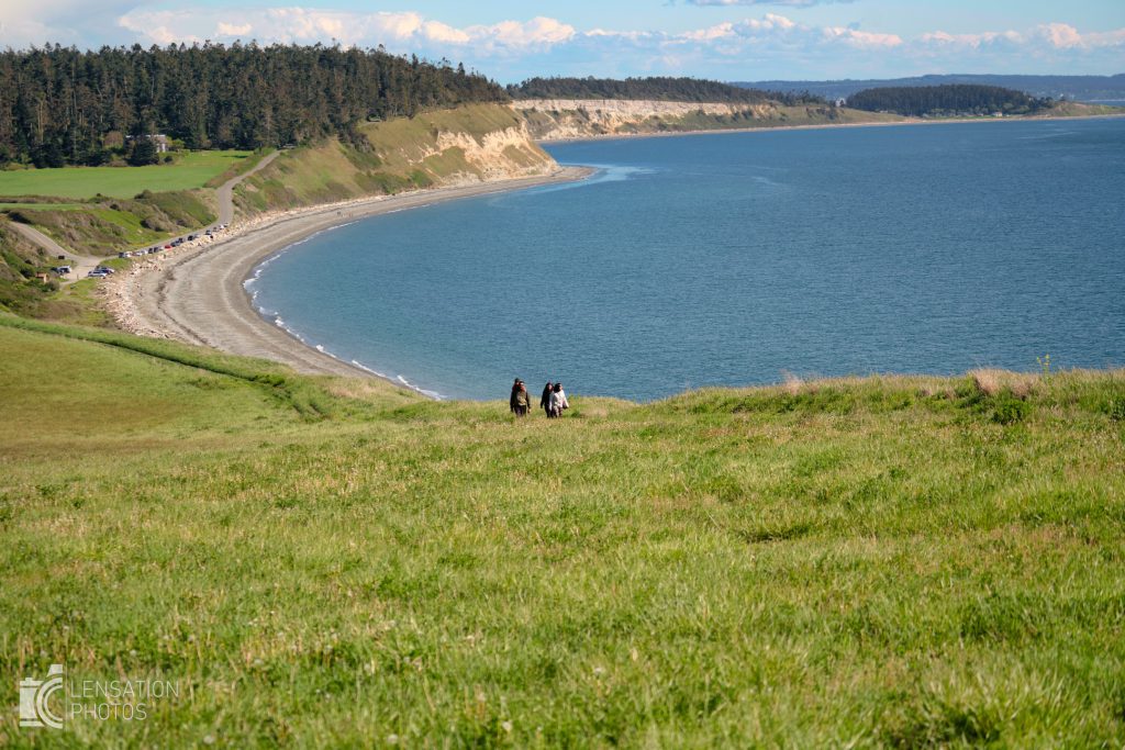
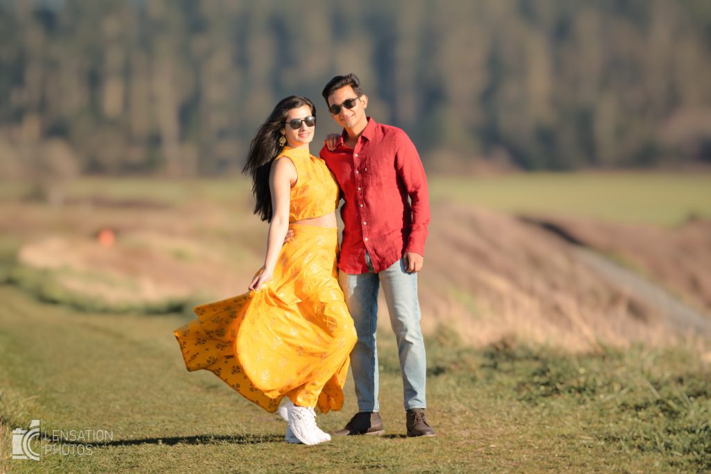
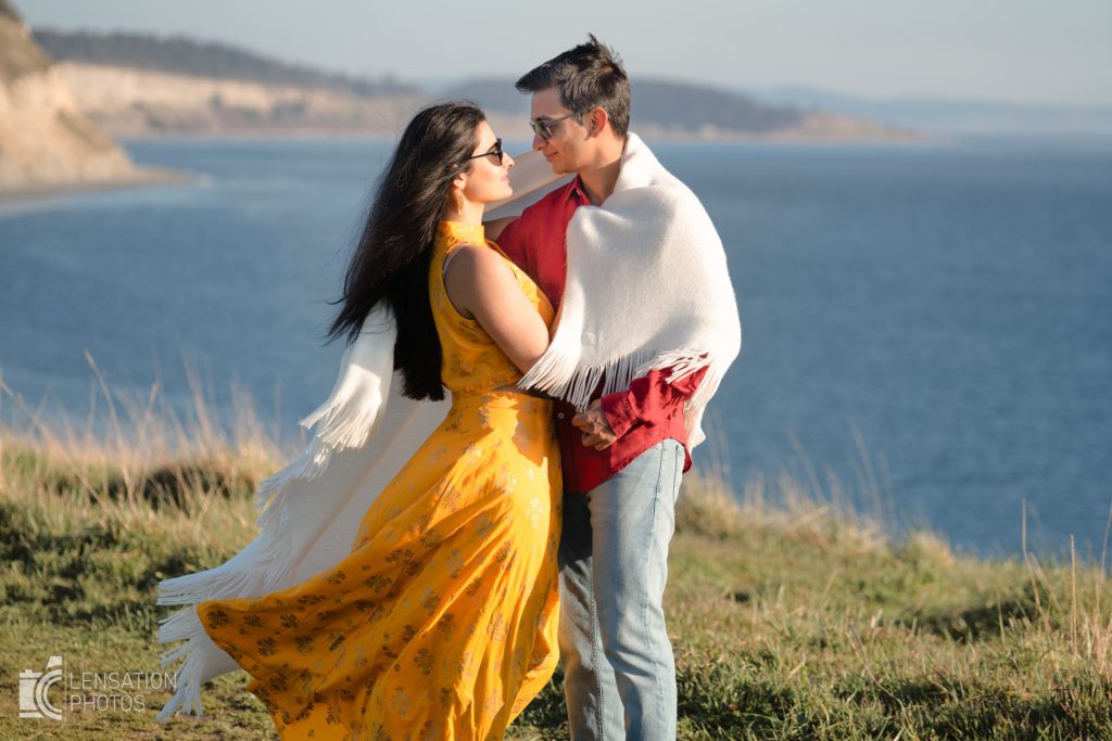
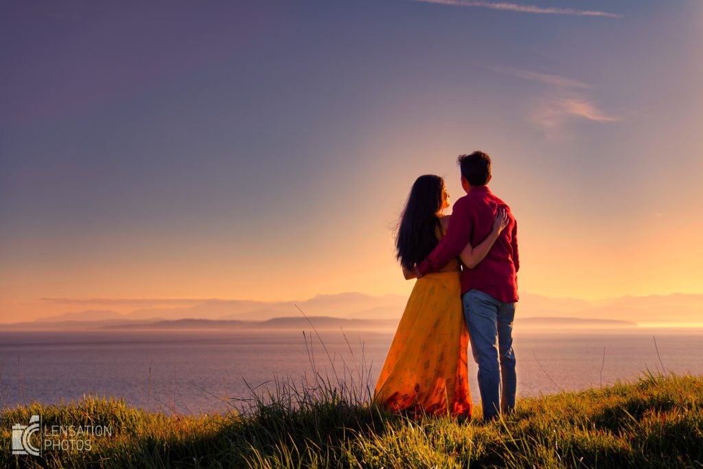
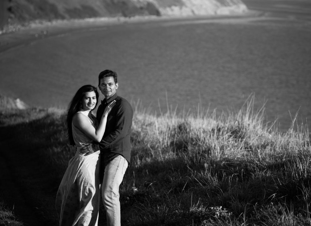
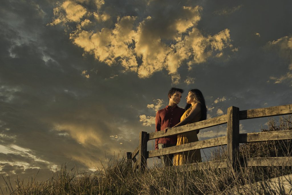
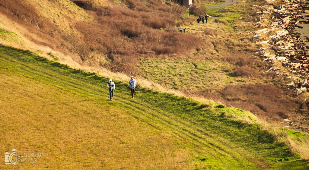
Upper Bluff Trail
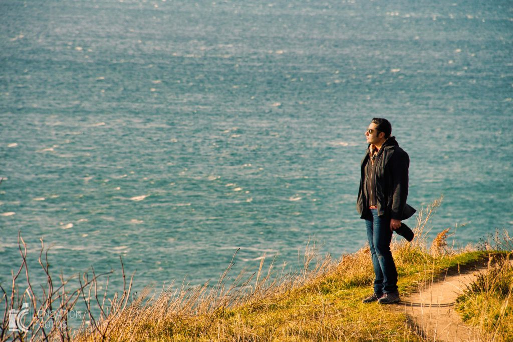
I use my telephoto lens here on bluffs that gives amazing backgrounds.
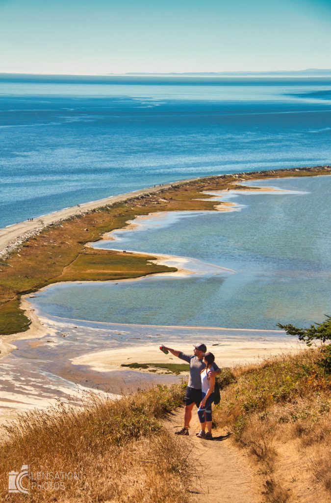
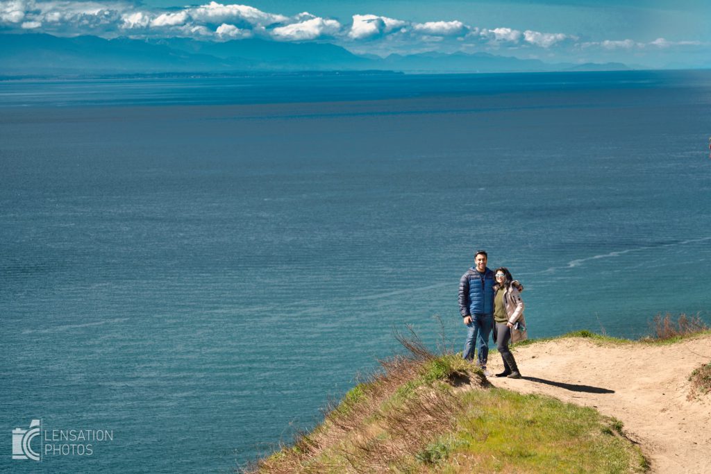
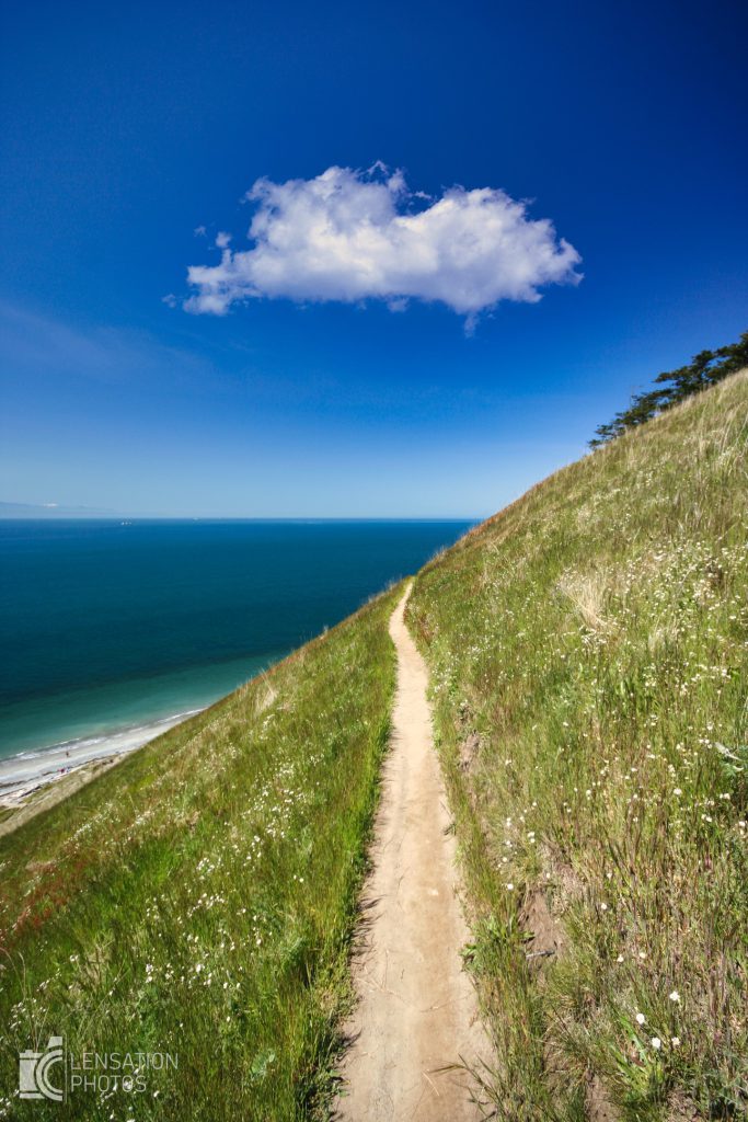
Beach
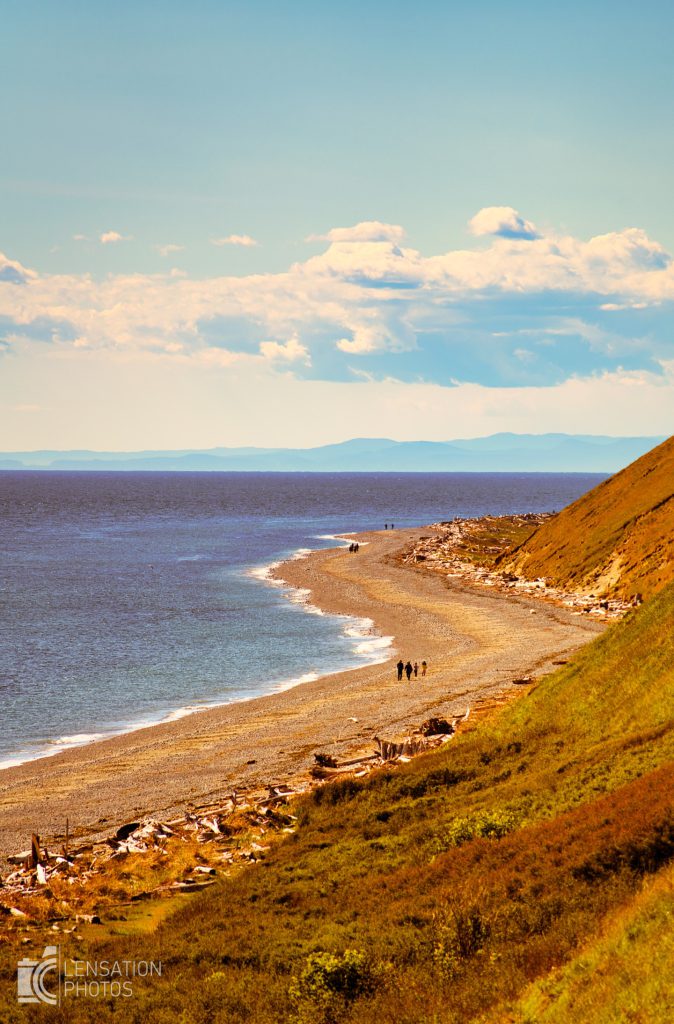
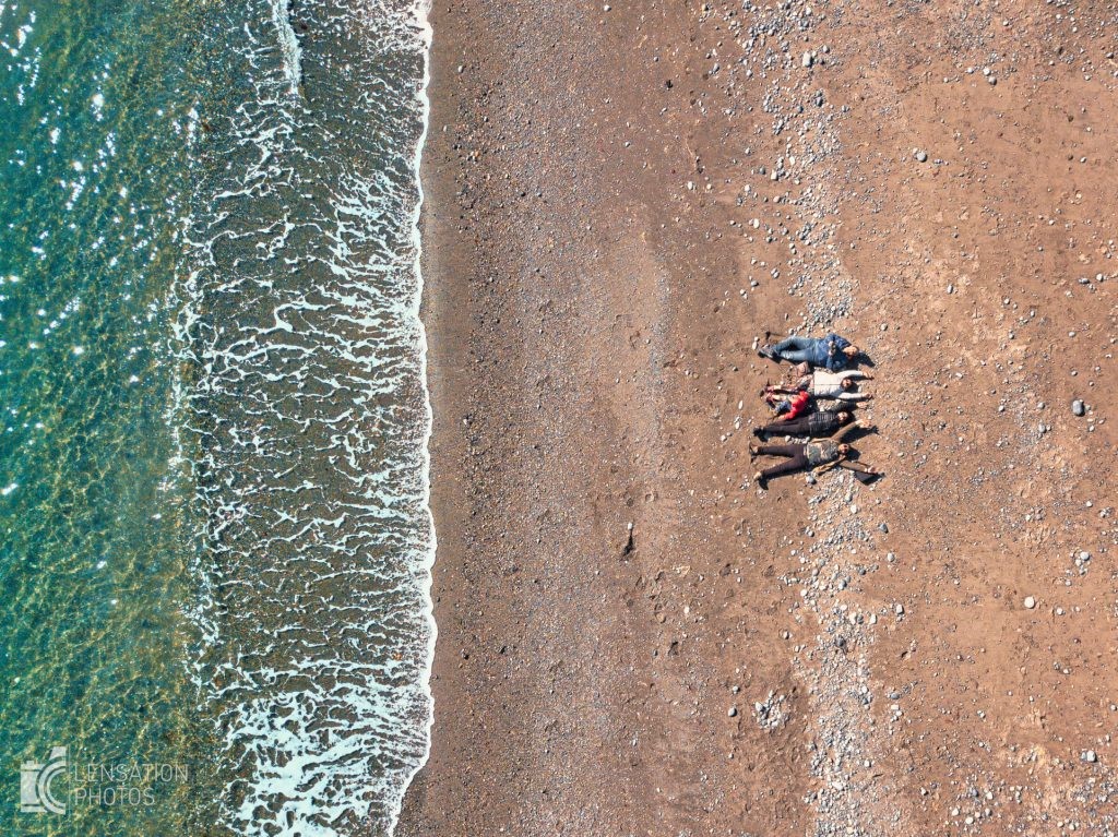
Its a rocky beach but gives you great sunset on clear days
Fort Casey
The final stop of the loop where you can fly kites next to big guns. This state park also has beautiful yellow flowers to help you recreate this scene from DDLJ. There is a nice lighthouse and you can usually see deer roaming around.
